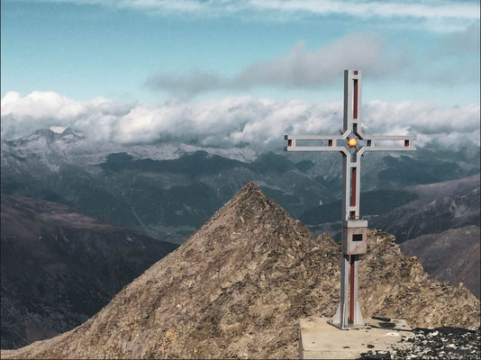
Piz Scopì (CH) - 3 190 meters
Nr 23
20th Summit in Ticino.
Highest summit of the day (in a 2 peaks hike, which included Pizzo del Corvo).
The Piz Scopì is the 10th highest Mountain of the canton Ticino.
This peak has a hiking path which comes from the Passo del Lucomagno and goes directly up to the top of the summit following route nr. 400, it's explained in the official guides of the CAS (Swiss Alpine Club) at page 272 of the 3rd volume (Guida delle alpi ticinesi, dal Passo San Gottardo al Pizzo di Claro).
We chose this way as it's the most obvious one if your goal is just reaching the summit. Having said that, as we climbed Pizzo del Corvo first, 20 minutes before reaching the top we took the path 411 to reach the other summit and then walked the same way back to finally also stand on Piz Scopì.
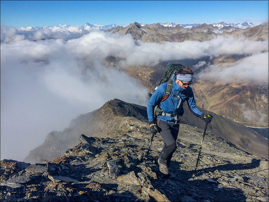
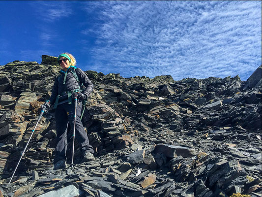
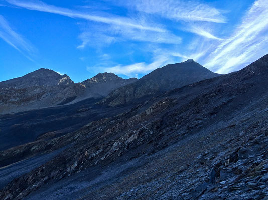
Even with a clear hiking path (nr. 400), it's still a challenging Hike as there are more than 1000 meters of vertical climb and the ground is very craggy and slippery which makes the ascend challenging from a physical standpoint.
There are a few exposed sections where you shouldn't be afraid of heights, the final section is also very steep and you might sometimes need your hands to remain stable.
This peak is exactly on the border between the two cantons Ticino and Graubünden but the summit is Part of the "Comune di Blenio" which is in Ticino and therefore is still located in the Italian speaking Part of Switzerland.
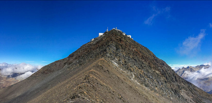
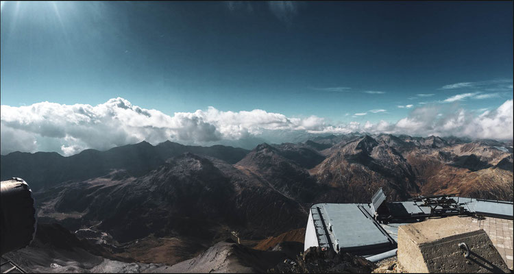
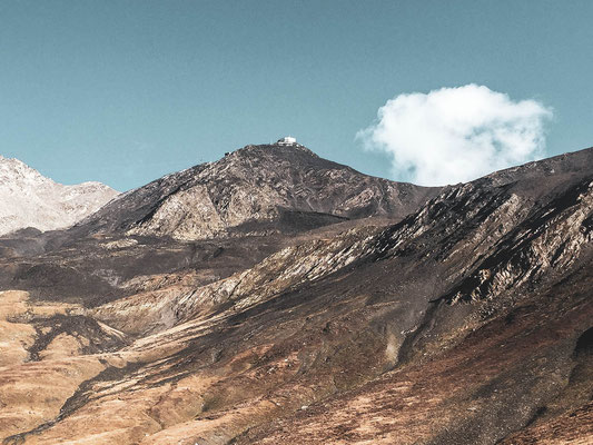
Intersting fact about this summit is that on top there is a Swiss army base with antennas and radars. Cameras are basically watching you the whole time and the surface is completely flat wich to be honest ist quite odd.
Level: T3+
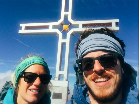
With Katrin
ROUTE: