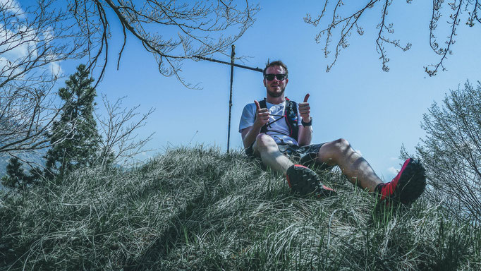
Monte Saletta (IT) - 1 194 meters
Nr 105
This one is a typical secondary peak, which as a mountain is far from being a summit. The reasons why it was one of the 3 peaks i chose for today are therefore simple:
1- It's mentioned in the Swiss Alpine Club Peak guides (although it's in Italy).
2- It's really close to our apartment and basically just behind the border, so perfect for a hike on my own.
3- It was apparently an easy hike, which meant that it was perfect for my first hike after my ankle/shoulder-injury.
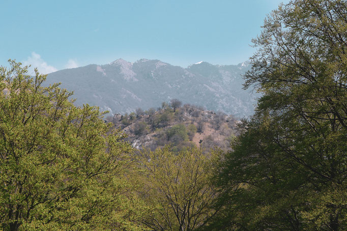
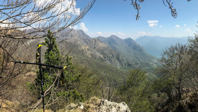
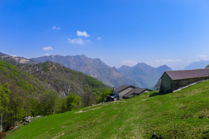
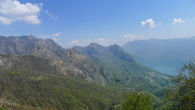
As said, this was my first peak of today's hike into Valsolda in Italy (Monte Saletta - Monte Spelucco - Cima Cavrighè) and the cool thing about it is that I just had to step out of my apartment and start walking to get here (well, that's a lie, as I drove up to Cureggia to avoid starting with steep and slippery stairs right away. As said before these were the first hiking steps I was taking after a few months brake due to an injury).
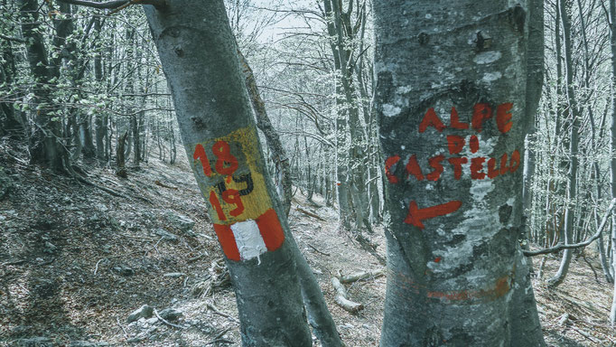
Basically I walked from Cureggia up to Pian di Scagn, then passed the border into Italy and walked down towards Alpe Bolgia following the final part of path 441 explained in the official guides of the CAS (Swiss Alpine Club) at page 344 of the 5th volume (Guida delle Prealpi ticinesi). At Alpe Bolgia you have to take a U-Turn and walk up a path through the valley which basically is just behind the border, up towards Alpe Castello and at a certain point leave it to walk up to the peak... check out the Route below, it's easier to directly look at a map I guess :-)
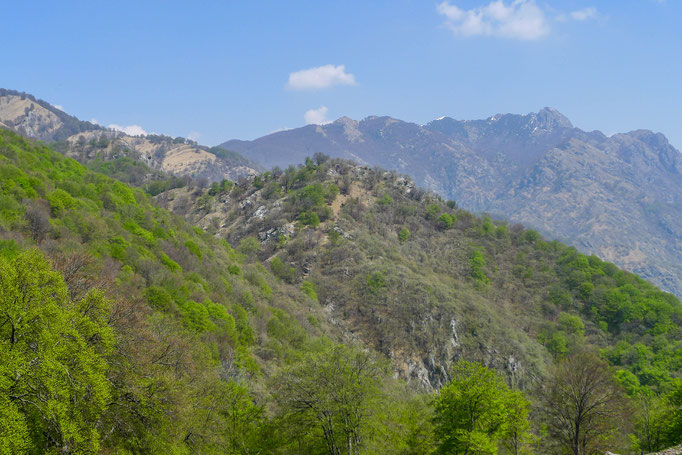
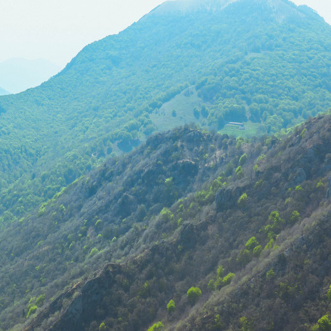
The peak itself is mentioned in the same book at page 337 when talking about a path towards Denti della Vecchia.
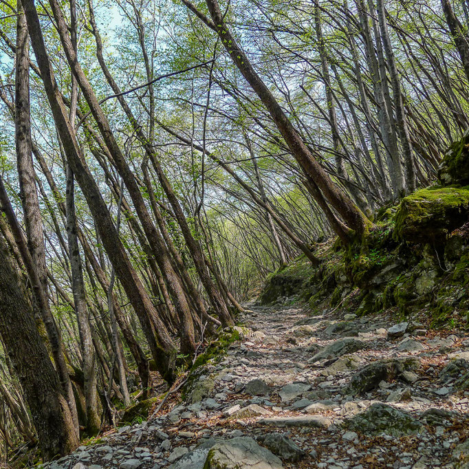
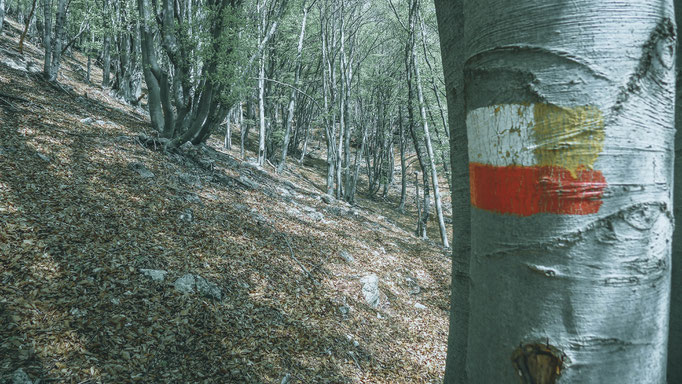
In the end the hike wasn't so easy for my recovering ankle as I expected, as paths in Italy were not cleared off at all. Of course it's early in the year and this is normal but still, it was incredible what a difference there was once passing the border.
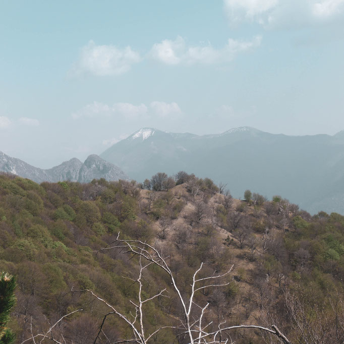
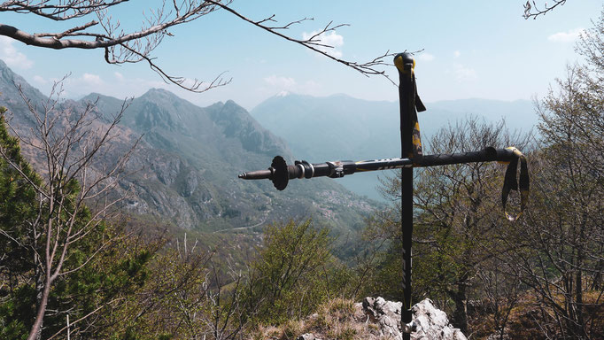
Honestly speaking, this was just a "Peakbaggers-peak", I would not recommend to come here for any other reason, as also the views are poor if compared to the mountains around.
Level: T2+
ROUTE: