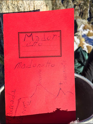
Madonetto (CH) - 2 163 meters
Nr 35
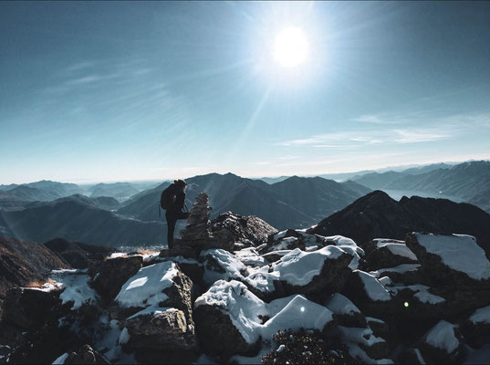
This was the 3rd and last peak of our 3 peak hike (Sassariente, Cima di Sassello, Madonetto) we had programmed for today.
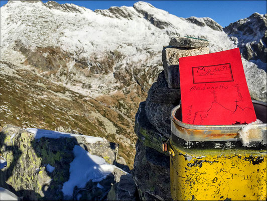
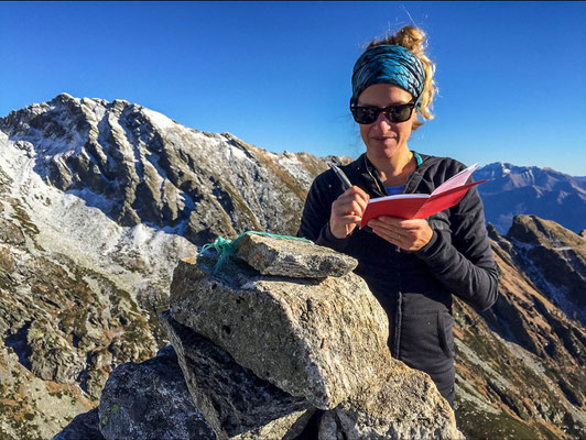
Not listed as an official peak in the guides but the author dedicated a whole article with explanation of paths to it on page 455 in the 2nd volume of the official guide of the CAS (Swiss Alpine Club, Guida delle alpi ticinesi, dal Cristallina al Sassariente), therefore even if it's more like a long ridge dividing two valleys, there is a mountain summit book on one of the peaks.
Due to this fact, (even if normally I'm really strict on this) I decided to count it as a reached summit; in fact, it's listed as a peak on hikr.org for example and when standing on it, it definitely feels like a peak.
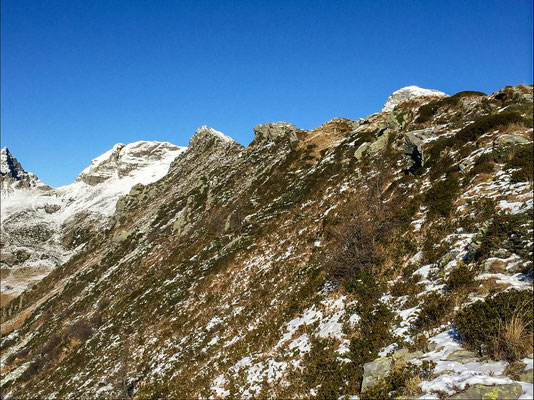
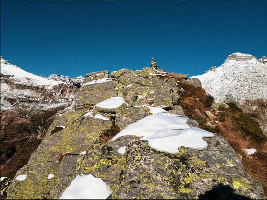
The ridge is not so dangerous at the beginning and the first 3 elevations of it are basically just steep grass.
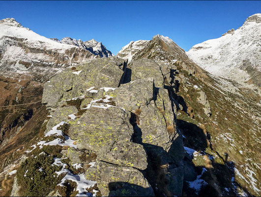
After this, the ridge gets narrow and starts to be rocky. Most of it is just steep on the sides but there are a few really exposed sections which involve a little bit of climbing on the edge of 10 meter cliffs (the fact that it was mid-november and a lot of the rocks were covered by snow&ice was not really helpful and made the walk on the ridge quite an adventure... but in the end that's what we're looking for :-)
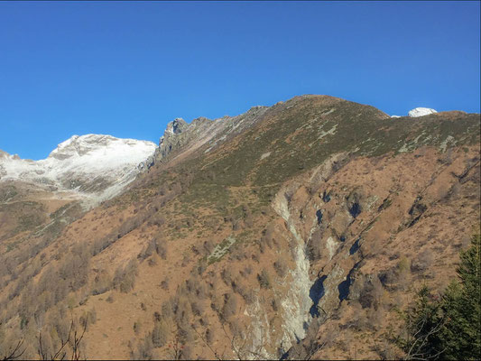
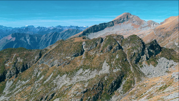
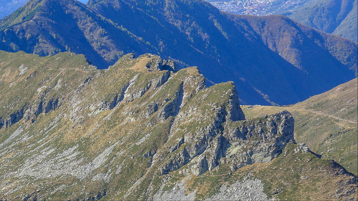
The Madonetto, doesn't have a clear highest summit (in fact the Summit book is on the third highest peak of it, having said that they are really close to each other, much more than for example at Poncioni Negri). This fact can be seen in the last picture which was taken during our hike one year later to Cima dell'Uomo. It's also the best picture to explain why it can be seen as a ridge and at the same time as a peak. For me it's both and therefore it's on the list.
Level: T4- from Forcarella due to the exposed rocky sections and the tricky descent to the Valle di Ruscada (but i think we just went completely wrong there).
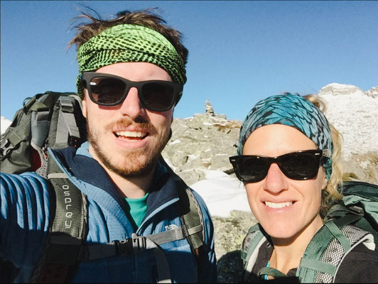
With Kartin
ROUTE: