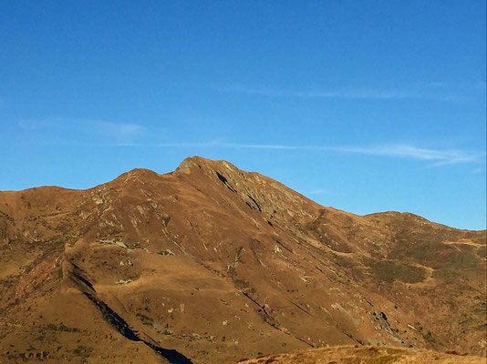
Camoghè (CH - Val Serdena) - 2 228 meters
Nr 27
This was the second peak out of a 6 summit hike (Cima Calescio, Camoghè, Vetta del Vallone, Monte Segor, Gazzirola, Cima Moncucco) we had programmed for today.
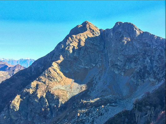
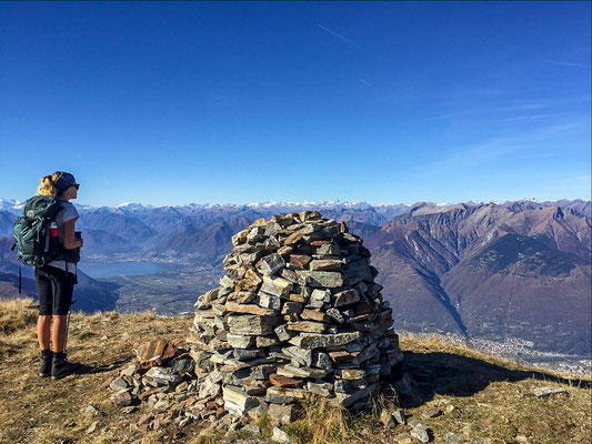
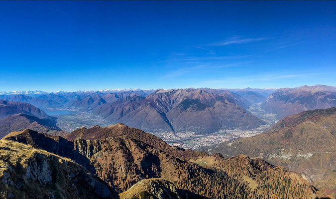
It's the highest Peak of the southern half of the canton Ticino (Sottoceneri) and this fact is the reason why from here you get the most beautiful view of all the peaks nearby and from both big Ticino lakes (Lago Ceresio and Lago Maggiore).
We came up from Cima Calescio following path 306 (from west), explained in the official guides of the CAS (Swiss Alpine Club), page 286 of the 5th volume (Guida alle prealpi ticinesi).
The mountain gives many possibilities for an ascent, also a much easier (signed path) and more famous one coming from the Eastern ridge.
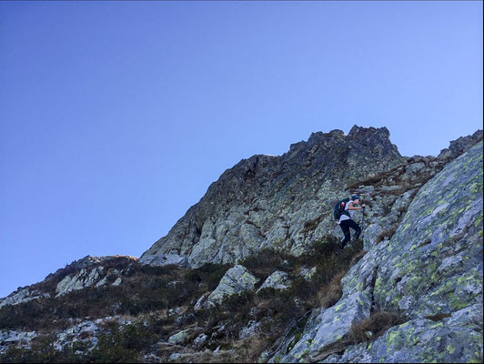
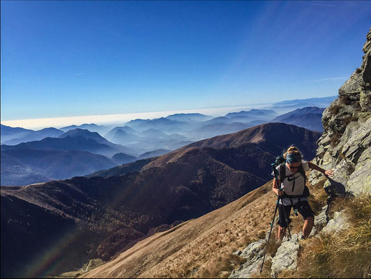
What we did was basically a completely off-path ridge with some pretty exposed sections with some moments where hands were needed to pull yourself up. At the end there is a 100 meter grassy ascent to the top.
Not recommendable when wet as the long grass is already really slippery when dry, trekking poles are instead strongly recommended for stability. A fall could result in serious injury.
Level: T4 (at least this route.. there is an easier T3- on the other side)
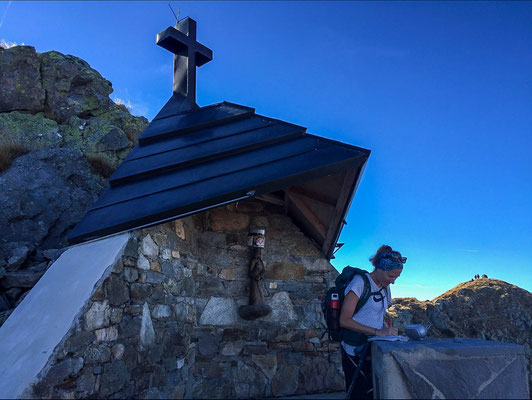
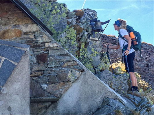
With Katrin
ROUTE: